Mastering Trail Layout with the Backslope Tools Klino
Share
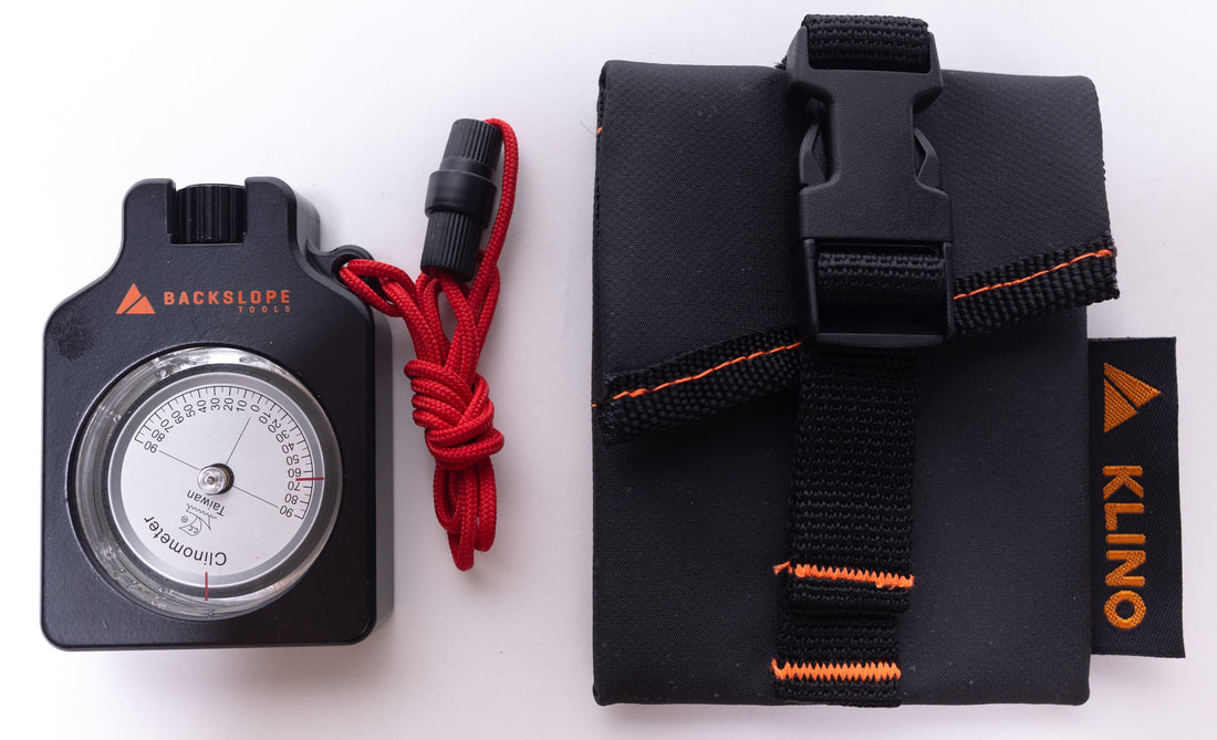
Mastering Trail Layout with the Backslope Tools Klino Clinometer
When it comes to trail construction and maintenance, precision is key. One of the most essential tools for ensuring proper trail grade and slope is the clinometer, often referred to as a "clino." The Backslope Tools Klino is designed specifically for trail professionals who need a reliable reference for measuring grade in the field. While a clinometer provides a good estimate of slope, it is not a highly precise instrument. It serves as a guideline tool rather than an exact measurement device, helping trail builders make informed decisions while scouting and assessing terrain.
What is a Clinometer?
A clinometer is a handheld device used to measure the grade (percent slope) or angle (degree) of a trail segment or hillside. While there are smartphone apps available for this purpose, a dedicated tool like the Backslope Tools Klino provides a practical and quick way to assess slope in rugged outdoor conditions. The grade and degree values appear on either side of the viewfinder, so always double-check which scale you're using. Most trail professionals use the percent slope scale when assessing natural terrain and the percent grade scale when measuring constructed trails.
Why Trail Grade Estimates Matter
Measuring trail grade correctly is critical to creating sustainable trails that minimize erosion and provide a safe, enjoyable experience for users. However, a clinometer should be used for guidance, not exact calculations. Environmental factors like uneven terrain, vegetation, and user technique can affect readings. This is why experienced trail professionals take multiple readings and average them for improved accuracy. For precise measurements, surveying equipment may be required, but the clinometer remains an essential tool for quick assessments in the field.
How to Use the Backslope Tools Klino Clinometer
Step 1: Set Up Your Clinometer
- Hold the Backslope Tools Klino sight hole up to your dominant eye.
- Keep both eyes open to maintain full field awareness.
- Look through the viewfinder and find the percentage scale.
- Use the horizontal line in the center of the viewfinder to estimate the percent grade.
Step 2: Establish a Zero Grade Reference
- Work with a partner of similar height for consistency.
- Stand toe-to-toe on level ground and look straight ahead.
- Identify a reference spot on your partner’s body or face where the horizontal line crosses.
- Alternatively, use a flagged surveyor’s pole to create a fixed reference point.
Step 3: Measure the Trail Grade
- Move at least 15 feet apart on uneven terrain.
- Hold the clinometer steady and align the reference spot.
- Read and record the percent grade value as an estimate.
- For improved accuracy, take multiple readings and average the results.
Scouting and Laying Out a Trail Route
When planning a new trail or realigning an existing one, scouting the route is essential. Using the Backslope Tools Klino helps ensure that trails remain within design specifications, adhere to sustainability guidelines, and follow the natural contours of the land. However, since clinometers are not highly precise, trail builders should verify readings through multiple observations and, when necessary, use additional surveying methods.
Key Objectives of Trail Scouting
- Verify that the route meets design specifications and is sustainable.
- Identify anchor points (such as ridgelines or stable terrain) and avoidance areas (like wetlands or unstable slopes).
- Modify the initial draft corridor to achieve the best possible alignment.
- Establish a flagged route for final specialist review.
- Identify areas requiring trail structures for support or drainage.
Common Trail Features to Assess with a Clinometer
- Sparse vegetation patches indicating shallow bedrock.
- Natural draws and drainage areas for incorporating grade reversals.
- Sections where short pitch grades exceed target limits.
Essential Tools for Trail Layout & Scouting
To ensure an efficient and precise trail layout, always carry the following:
- Backslope Tools Klino Clinometer (for guidance, not exact measurements)
- Compass and altimeter
- GPS device or smartphone with mapping software
- Multiple colors of flagging tape
- Wire pin flags
- Permanent marker for notes
- Notebook for recording trail observations
- Soil probe for checking bedrock depth
- Printed or digital trail maps
Final Thoughts
The Backslope Tools Klino Clinometer is a valuable tool for estimating trail grades and aiding in route planning. While it is not a precision instrument, it provides essential guidance for trail professionals in the field. By taking multiple readings and using additional tools when necessary, trail builders can create sustainable, well-designed trails that stand the test of time.
For top-quality trail-building tools, visit www.backslopetools.com and equip yourself with the best gear for the job!